news
Central Coast Council Tackles Thousands of Duplicate Records Clogging Systems
Years of fragmented IT systems, administration-era upheaval and rapid staff turnover left the council sitting on thousands of duplicate property images, complicating everything from planning approvals to flood risk assessments.
How we reported this
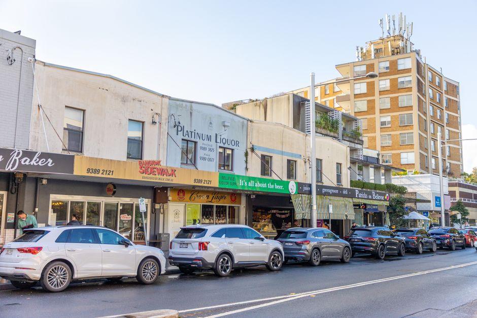
Central Coast Council is working through a systematic audit of its digital asset library after internal reviews identified a significant backlog of duplicate property and infrastructure images stored across multiple legacy databases, a problem years in the making that now touches planning decisions, insurance assessments and climate resilience mapping across the region.
The issue matters right now for a specific reason. With Gosford CBD renewal projects accelerating under a series of State Significant Development applications, and flood modelling updates underway following the 2021 Hawkesbury-Nepean inundation, council officers need clean, reliable visual records to cross-reference site conditions. Duplicate or mislabelled images slow approvals, create compliance gaps and, in worst-case scenarios, mean planners are looking at the wrong property altogether.
How the Records Got So Scrambled
The origins of the problem trace back to the 2016 amalgamation of Gosford City Council and Wyong Shire Council into a single entity. The two predecessor organisations ran different content management systems, Gosford on one platform, Wyong on another, and when they merged, the integration was never fully completed. Images of the same street, the same drainage easement, the same development site were ingested twice, sometimes under different file-naming conventions.
Then came the financial crisis. In April 2020, the NSW Government placed Central Coast Council into administration after the organisation ran a $565 million deficit, a figure confirmed in the Independent Reviewer's report released later that year. Administrator Rik Hart moved quickly to stabilise finances, but back-office digital housekeeping was not the priority. Staff cuts followed, including in the records and GIS teams, and the duplicate image problem compounded quietly in the background.
By the time elected councillors returned in December 2021, the digital asset registers across departments, planning, infrastructure, open spaces, had grown into overlapping silos. A routine audit of drainage infrastructure along Wyong Road and Mann Street, Gosford, reportedly flagged hundreds of image records where the geographic metadata pointed to the same physical location but the files existed under separate identifiers in separate folders. No single staff member had a complete picture of what the council actually held.
The Cleanup, and Why It Connects to Bigger Issues
The council's current duplicate image replacement program is part of a broader digital transformation project tied to its long-term IT strategy, adopted in 2023. The work involves reconciling records within the Civica Authority system against those held in council's geographic information system and its separate infrastructure asset management platform. Officers are working precinct by precinct, the Gosford waterfront and Tuggerah Business Park have been identified as early priority zones given active development pressure in both areas.
The timing also matters in the context of climate planning. The Central Coast Local Strategic Planning Statement identifies flood-prone land across the Tuggerah Lakes foreshore and along the Wyong River corridor as a key vulnerability. Accurate, non-duplicated site photography is a baseline requirement for the updated Flood Risk Management Studies being prepared under the NSW Flood-Prone Land Policy. Using the wrong image, a 2017 photo filed under a 2022 reference, for example, could distort assessments of how a site has changed since recent major rain events.
Housing affordability adds urgency from a different direction. The Central Coast remains one of the few markets within practical commuting range of Sydney where median house prices, sitting around $850,000 as of late 2025 according to Core Logic data, are substantially below Sydney's metropolitan median. Development applications are running at elevated volumes as a result. Duplicated or corrupted site images slow the assessment pipeline at exactly the moment councils are under state government pressure to approve more homes faster.
Residents and developers tracking development applications through the NSW Planning Portal should be aware that some historical site photographs attached to older DA files may be flagged as under review during the audit period. Council's customer service centre on Mann Street, Gosford, can confirm whether a specific property record has been cleared or is still being reconciled. The council has indicated the bulk of the deduplication work is expected to be completed before the end of the 2026 calendar year.